- 025 54011
- info@ghesurveying.ie
- Mon - Fri : 09.00-17.00
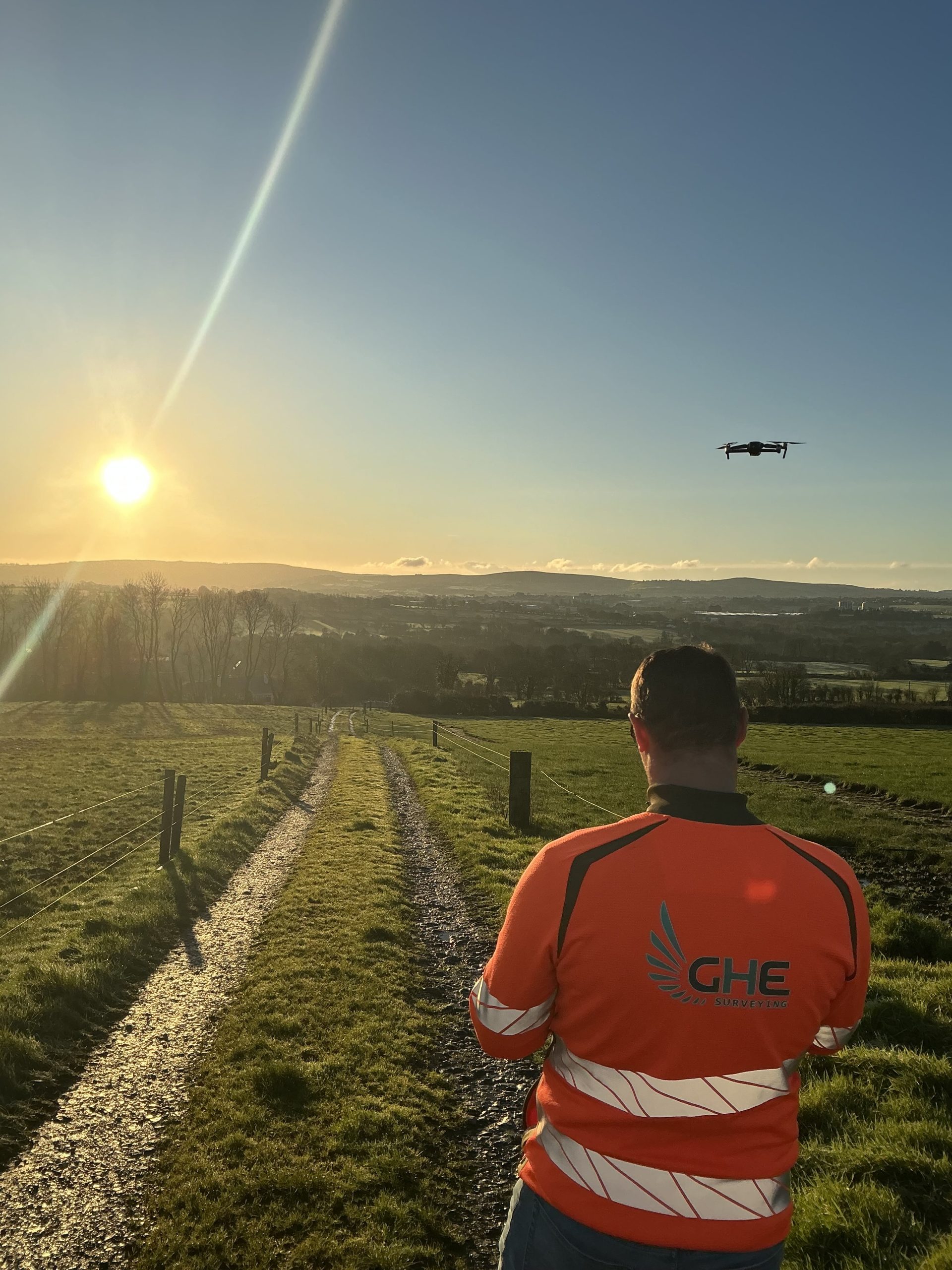
At GHE Surveying, we harness cutting-edge technology to provide precise and comprehensive surveying solutions. Our Advanced UAV Drone Surveys offer a revolutionary approach to mapping and data collection.
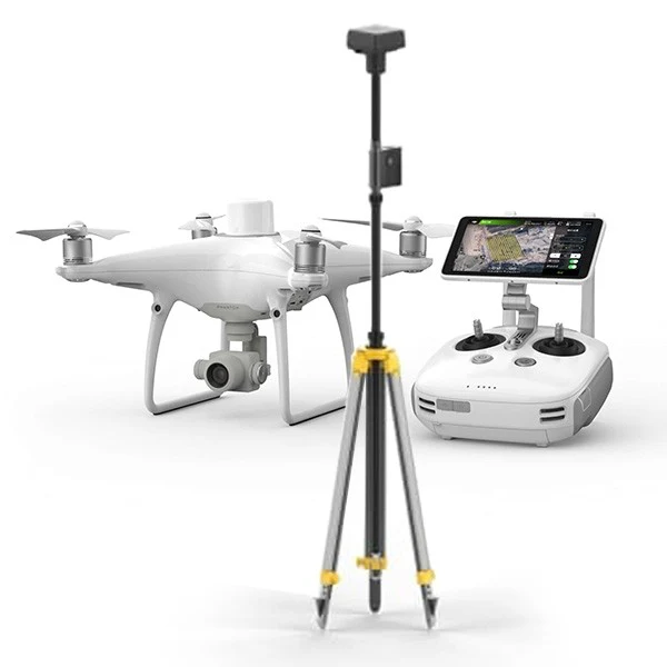
Utilizing state-of-the-art unmanned aerial vehicles (UAVs), our surveys deliver unparalleled accuracy and efficiency. Whether you require land mapping, infrastructure inspection, or site monitoring, our UAV drone surveys provide detailed insights with minimal disruption.
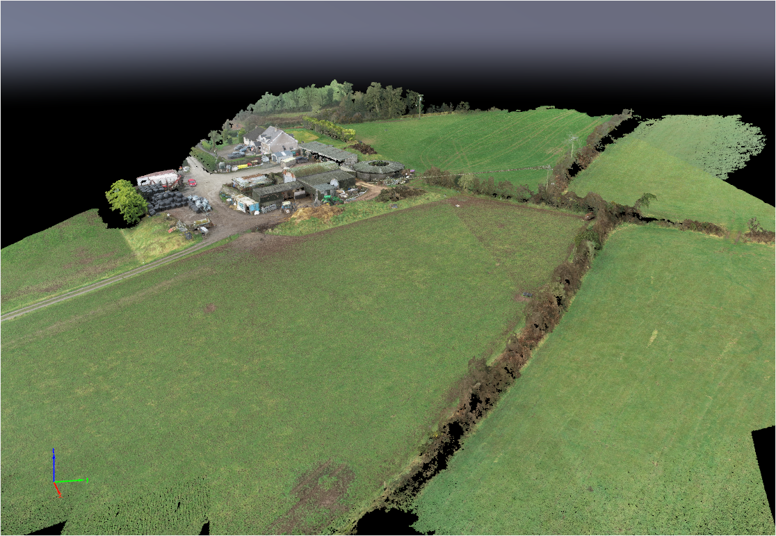
1. High Precision Mapping: Our UAV drones are equipped with advanced sensors and cameras, allowing us to capture high-resolution imagery and generate accurate 3D models of your site.
2. Rapid Data Collection: Traditional surveying methods can be time-consuming and labour-intensive. With UAV drones, we can cover large areas quickly and efficiently, reducing project timelines and costs.
3. Enhanced Safety:By conducting surveys remotely, we minimize the need for personnel to enter hazardous or hard-to-reach areas, improving safety and reducing risk.
4. Customized Solutions: We tailor our UAV drone surveys to meet your specific project requirements, ensuring that you receive actionable insights to inform decision-making and optimize project outcomes.
Unlock the power of advanced technology for your next surveying project with GHE Surveying’s UAV Drone Surveys. Contact us today to learn more and request a consultation.
GHE Surveying offers comprehensive topographical survey services across Ireland, utilizing advanced technology and years of expertise to deliver accurate and cost-effective results. Contact us for a free quote and tailored advice for your project needs.
Sign up for our newsletter today to stay connected and informed. Simply visit our website or contact our office.
We operate out of Mitchelstown, Co. Cork and are nationwide throughout Ireland with our services.
Design by: 