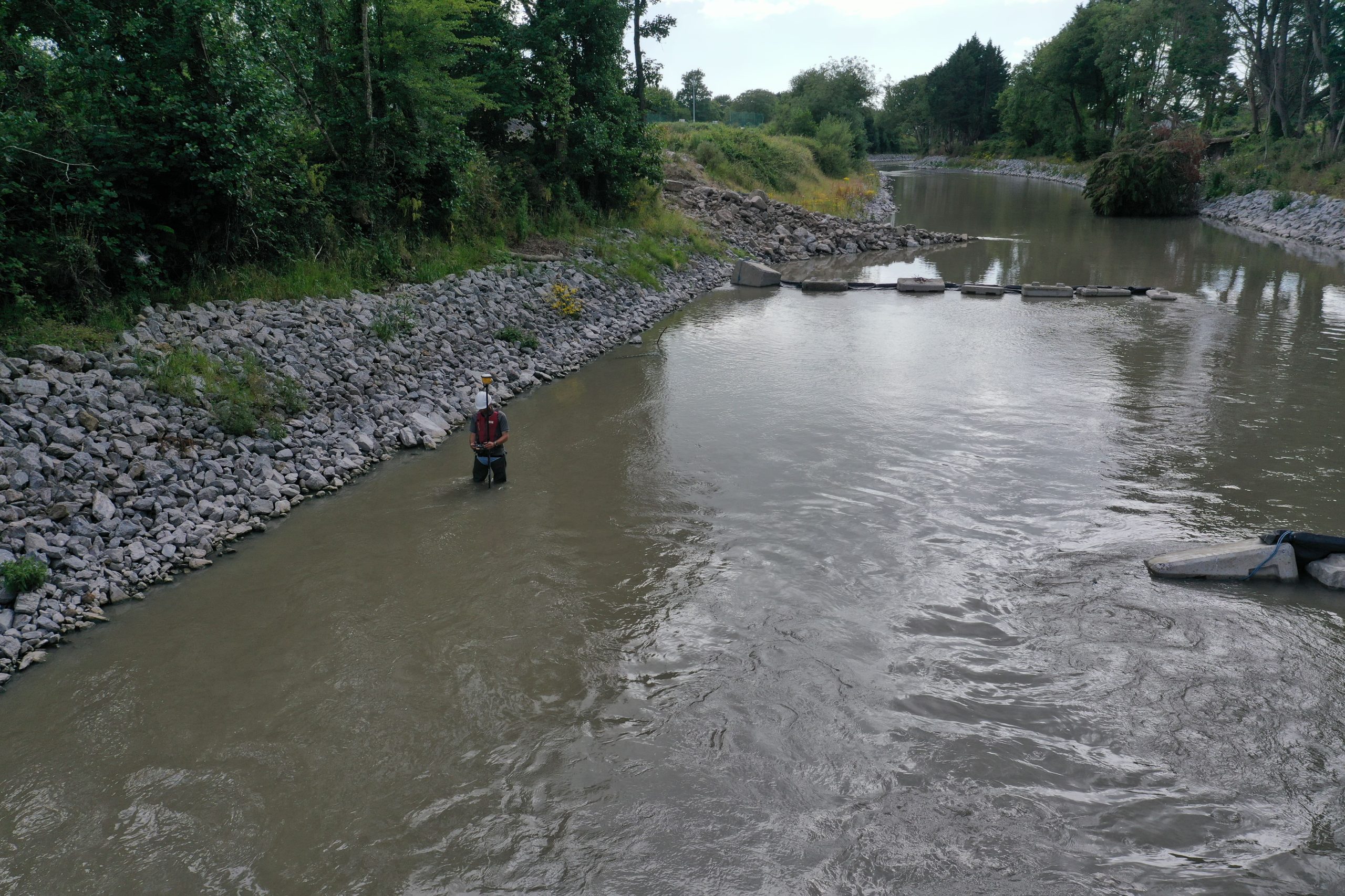
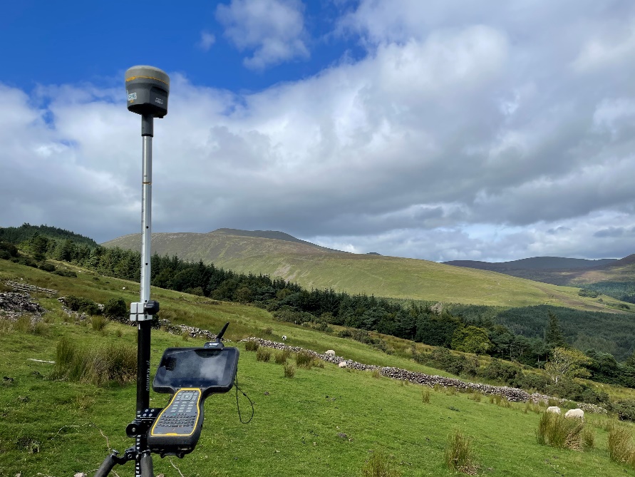
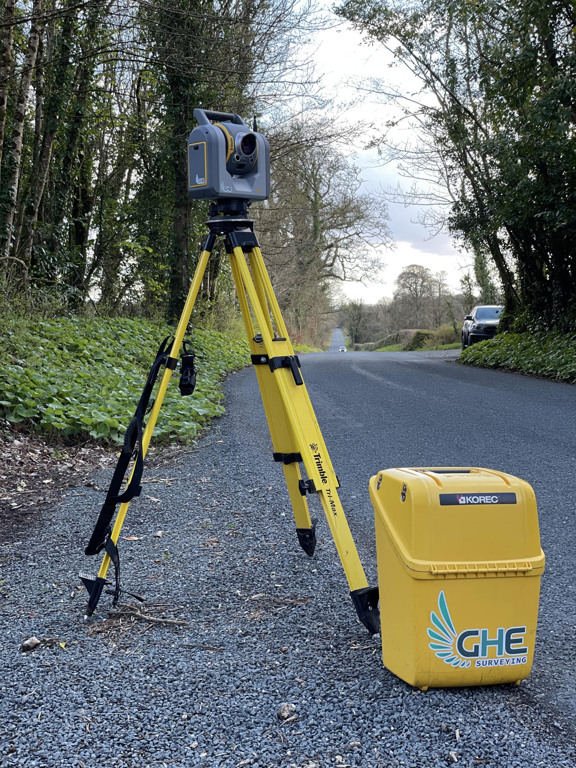
At GHE Surveying, we provide high-quality, accurate, and up-to-date topographic surveys essential for land use changes. Our maps and plans represent detailed features of the natural and built environments on greenfield, brownfield, and development sites.
Using advanced survey technology and software, we deliver true-to-scale maps with contour lines, symbols, spot levels, and text.
We customize our surveys to meet each client’s specific needs, ensuring the most accurate information is provided.
Why You Need a Topographical Survey
Topographical surveys help architects, engineers, and developers visualize site features and levels. Conducting a survey early in a project can save time and reduce costs by identifying potential issues beforehand.
GHE Surveying
Cost of a Topographical Survey in Ireland
Survey costs in Ireland range from €400 to €1,500 per day, depending on the size of the land, the required detail, and the necessary accuracy. Processing the collected data typically takes as long as the field survey itself
Reducing Survey Costs
Size: Limit the surveyed area to the necessary scope.
Detail: Specify which features are critical to reduce survey complexity.
Professionalism: Choose experienced surveyors with good credentials and clear, transparent quotes.
Samples: Request previous work samples to ensure quality.
GHE Surveying offers comprehensive topographical survey services across Ireland, utilizing advanced technology and years of expertise to deliver accurate and cost-effective results. Contact us for a free quote and tailored advice for your project needs.